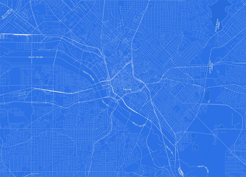
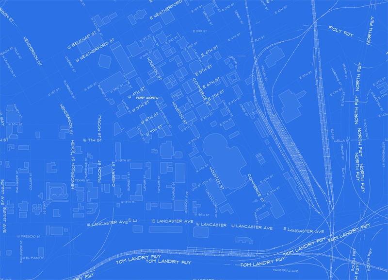
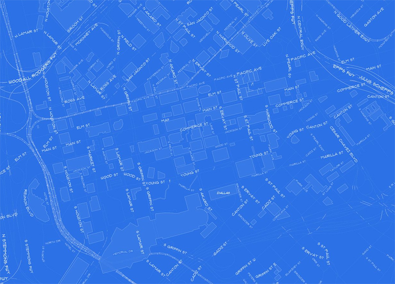
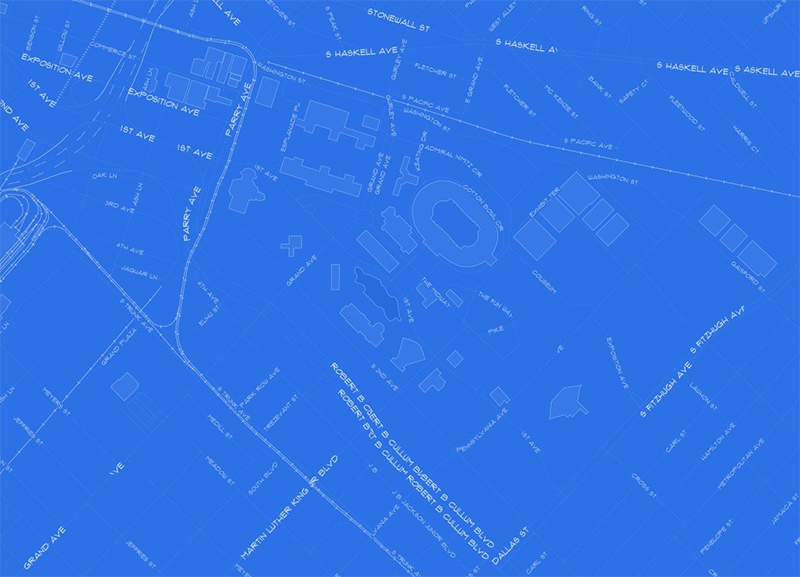
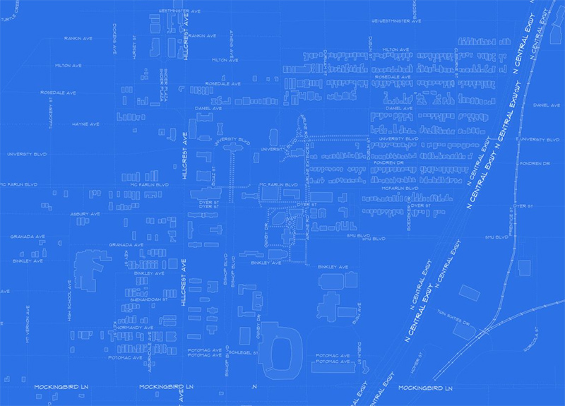
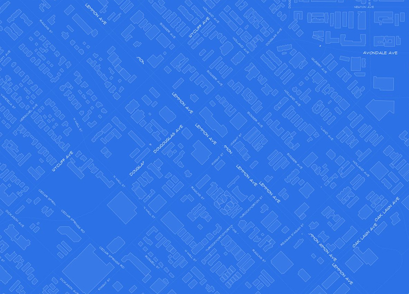
Here's What A Blueprint of Dallas Looks Like.
The Internet is way super into maps these days. Need proof? OK: Just about a week after Google blew our minds with the Pac-Mac-ization of its own mapping technology (although, sadly, that feature's no longer playable), another cool fun map to tool around on online has made its way across our screens — this time thanks to a recent feature on The Atlantic's CityLab.
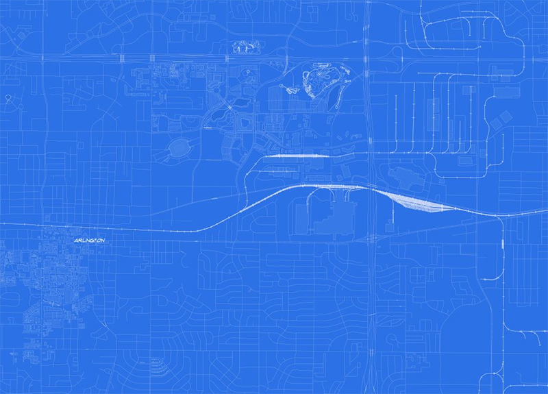
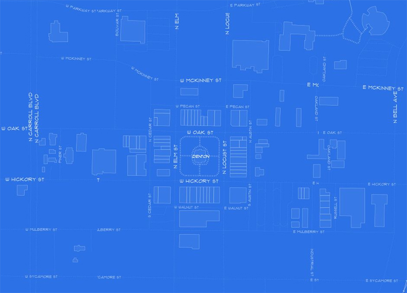
This new world-sized map we speak of courtesy of Philadelphia data scientist Lauren Ancona, and it's a doozy: Cribbing OpenStreetMap data, Ancona turned the world into a a cyanotype-inspired creation meant to mimic architectural blueprints. Fittingly, she calls it “Blueprinted,” and the end result is a gorgeous, wholly unique spin on a map we've all seen before.
Granted, not every spot on the world map is too detailed — the source data used here is reliant on municipality self-reporting, I believe — but the even somewhat-intricate area make for some poster-worthy visuals. Below, we look at a few screenshots grabbed while hopping around the region.
